
Click to download now, finish the installation quickly, and directly unlock the all-round experience
Screenshots
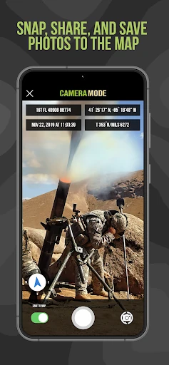
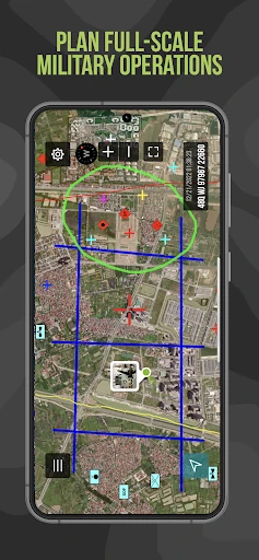
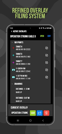
Click to download now, finish the installation quickly, and directly unlock the all-round experience
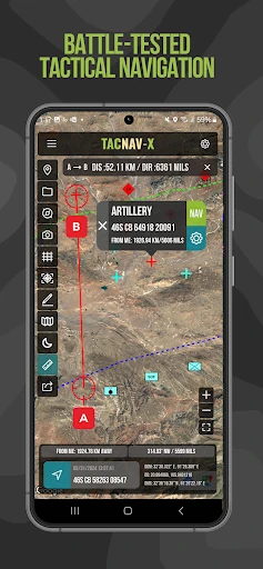
Tactical NAV is a map and navigation app for military personnel, field teams, and users who work with grid-based location data. It is designed for mission planning and land navigation rather than turn-by-turn driving or everyday travel. The app was developed by Jonathan J. Springer and is listed in the Maps & Navigation category.
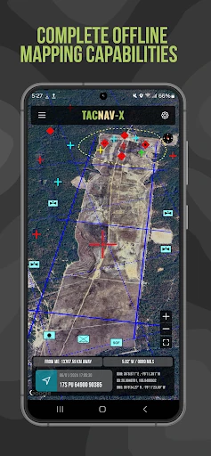
The app supports several coordinate systems used in military and international navigation, including MGRS, UTM, BNG, and USNG with WGS-84. This makes it useful when teams need to record, share, or compare positions across different mapping standards. It can also be used without a cellular signal, which suits remote areas and offline field exercises.
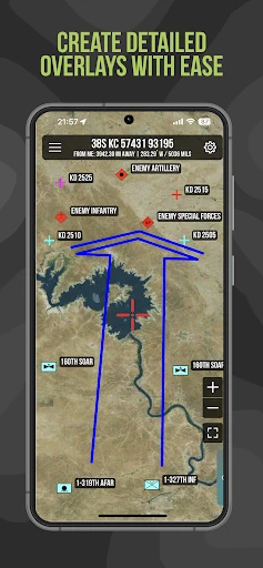
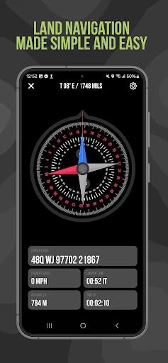
Tactical NAV keeps the display focused on coordinates, bearings, waypoints, and map information instead of filling the screen with consumer points of interest. Its controls and presentation are intended for practical use in the field, including situations where clear data and quick access matter more than visual decoration. It is a better fit for users familiar with military mapping concepts than for someone looking for a simple hiking or road-navigation app.
Tactical NAV has a rating of 3.96 out of 5 from 145 reviews, with 10,000+ installs. Those figures place it among the more specialized navigation tools for Android users who need coordinate formats, tactical map annotations, and compass-based field navigation.